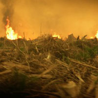
El Nino’s arrival has brought on severe drought to the region. During these long droughts, the forests of Borneo are much more vulnerable to fires. The land cleared for palm… Continue reading OFI fighting fires in Borneo
OFI fighting fires in Borneo


El Nino’s arrival has brought on severe drought to the region. During these long droughts, the forests of Borneo are much more vulnerable to fires. The land cleared for palm… Continue reading OFI fighting fires in Borneo
A new conservation project focused on Geographic Information Systems (GIS) is under way at Tanjung Puting National Park. GIS is a digital mapping technology used to store and analyze geographic… Continue reading Field Update by Leslie Smith, GIS Project Manager